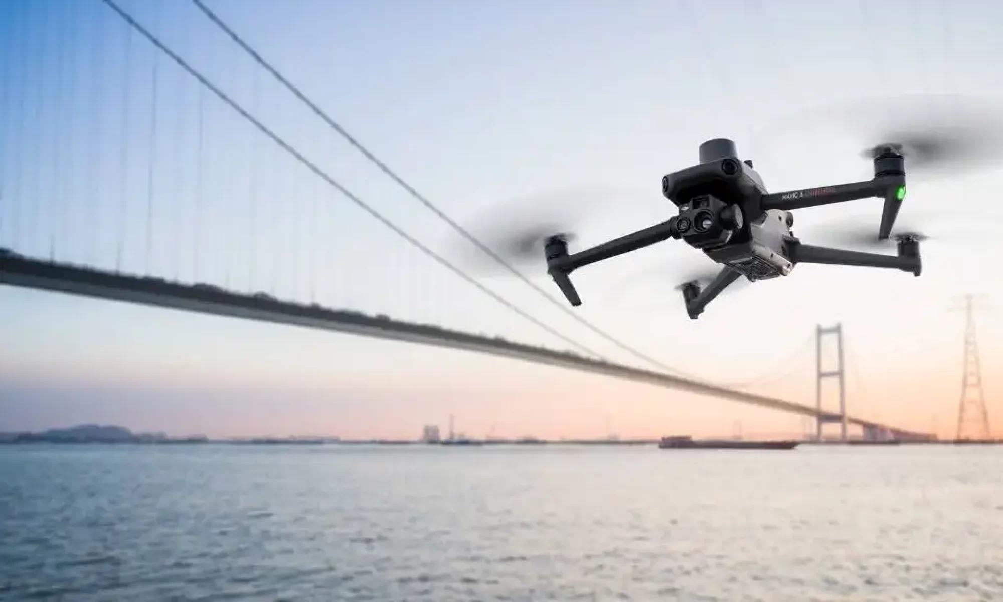
Drone 3D Mapping & Photogrammetry, Agricultural Spraying, & Cinematic Videography
At Higher State Media, we are forerunners in the drone industry with expertise and experience in conducting cinematic, agricultural, and photogrammetry survey drone projects.
- Our team focuses on providing solution-based data accumulation and accuracy in drone operations. This gives our clients the ability to save valuable time, energy, costs, and resources on their job sites.
- With mastery of 3D mapping technology, our services streamline the process of collecting valuable data from the field. The fast process allows for current and active reports of dynamic volumetric and dimensional data.
- Providing expertise in agricultural drone systems and spraying/shading applications gives a higher level of safety and efficiency to coverage on large greenhouse surfaces and field crops.
- 3D mapping technology is the streamlined future of data acquisition. Higher State Media will fly over large and hazardous terrain and up into inaccessible zones in the blink of an eye, with zero risk for workers on the ground. Save valuable time, money, and resources by hiring our professional services, and take your business to new heights and profits.


Our Drone Services
In servicing the data-driven industry we are proud to provide professional drone solutions for data collection surveys and product applications.
About Us
Based in Vancouver, BC, Higher State Media is a specialized drone business operating mainly within the Lower Mainland and Vancouver Island. Certified & insured, our expertise is ready to bring a new level to your commercial and creative projects.

PROJECT GALLERY


3D generation sample of CASCADES CASINO in Delta, BC
Cutting edge UAV 3D-capture technology uses geo-referencing metadata stored in the images taken to create a point-cloud based 3D digital terrain model (DTM) anchored to real-world coordinates pinpointed by RTK satellite positioning. With this information this DTM can be annotated as well as shared with collaborators to show data reports and more 3D-centered features.
INSURED BY SKYWATCH AI DRONE INSURANCE

ENTER A NEW DIMENSION


